0
Zolix GaiaField 초분광 카메라 GaiaField Hyperspectral Camera
GaiaField series hyperspectral imaging cameras for remote sensing
원격 탐사용 GaiaField 시리즈 초분광 이미징 카메라
Description
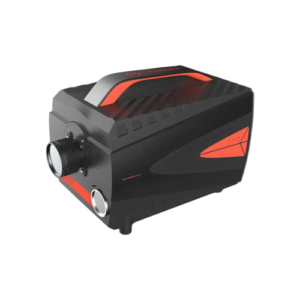
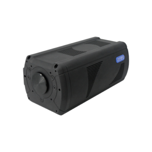
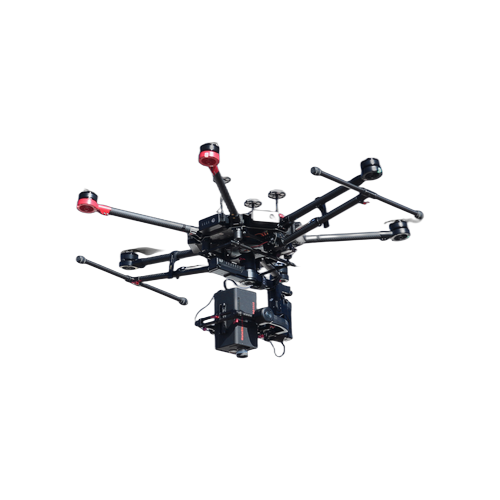
Gaiasky-mini Hyperspectral Imaging Camera GaiaSky-VIS/NIR camera provide extremely high resolution images by scanning and taking multiple images to construct a hyperspectral datacube. Hyperspectral imaging devices (GaiaSky) for lens scanning obtain slit spectra by projecting a strip of the scene onto a slit and dispersing the slit image with a prism or a grating. In lens scanning, each two-dimensional (2- D) sensor output represents a full slit spectrum (x, ). The NUC integrated into the system to control system operation ,data acquisition, and analyze , so the spatial dimension is collected through the scanning motor movement. GaiaSky camera connects with DJ UAV, user only need control the UAV by controller fly to the test area and specific height, then the UAV receive the trigger signal from the operator, the system will work and save data to the internal NUC , when finish capture the first point so the UAV can automatically fly to next position which user set before fly until finish the last position collect. GaiaSkySystem Function: Auto exposure time; Auto match scanning speed; Auxiliary camera (user can observe you want ); Data analysis (reflectance /radiometric/uniformity/lens/area /atmospheric/calibration) Spectra /imaging view and export; Spectral Angle matching; NDVI(advance custom); PCA; Supervisedclassification; Support lens change; Standard type data (support envi/envice/matlab); Images stitching;
Gaiasky-mini 하이퍼스펙트럼 이미징 카메라. GaiaSky-VIS/NIR 카메라는 스캐닝 방식으로 다중 이미지를 촬영하여 하이퍼스펙트럼 데이터 큐브를 구성하며, 극히 높은 해상도 이미지를 제공합니다.
Specifications
|
Instrument model |
Gaiasky-mini2-VN |
Gaiasky-mini-VN |
Gaiasky-mini-VN-W |
|||
|
Spectral Region(nm) |
400-1000nm |
|||||
|
Spectral resolution |
3.5nm |
|||||
|
Numerical Aperture |
F/2.8 |
|||||
|
Spectral channel number |
0.5nm |
0.7nm |
0.7nm |
|||
|
Pixels |
1936 x 1456 4.54um |
1392 x 1040 6.45um |
1392 x 1040 6.45um |
|||
|
Pixel pitch |
||||||
|
Digital OutPut |
14(bit) |
|||||
|
Signal Connector |
USB 3.0 |
USB 2.0 |
USB2.0 |
|||
|
Power |
12~19V |
|||||
|
Power Consumption |
45W |
|||||
|
Carrying platform |
DJI M600 Pro |
|||||
|
lens |
18.5mm, 23mm |
|||||
|
(FOVac,°) |
26.7@18.5mm,21.5@23mm |
27.3@18.5mm,22.08@23mm |
27.3@18.5mm,22.08@23mm |
|||
|
The transverse view |
142M@18.5mm, 115M@23mm(Flight altitude 300M) |
146M@18.5mm, 117M@23mm(Flightaltitude 300M) |
146M@18.5mm, 117M@23mm(Flight altitude 300M ) |
|||
|
Ingle image resolution |
1920X2080(1X), 960X1040(2X) |
1392X1400(1X), 696X700(2X) |
None |
|||
|
Spectral channel number |
1440(1X),720(2X),360(4X),176(8X) |
1040(1X),520(2X),256(4X),128(8X) |
1040(1X),520(2X),256(4X),128(8X) |
|||
|
Spatial resolution |
0.118(@23mm,Height 300m) |
0.168(@23mm, ,Height 300m) |
0.168(@23mm, ,Height 300m) |
|||
|
Scanning speed (line images/s) |
125(360) |
160(176channel) |
60(360channel) |
84(176channel) |
60(360channel) |
84(176channel |
|
Single shotspeed (s) |
9@360channel |
7@176channel |
13@360channel |
9@176channel |
None |
|
|
Weight |
1.5kg |
1kg |
||||
|
Memory |
240G SSD(512G,1T Optional) |
|||||
In the military field is mainly in the near infrared and infrared spectral band.Gaiasky-mini2-VN is very good at detecting camouflage.
Rock and mineral geological structure identification is an important application field of imaging hyperspectral system in geological exploration.Hyperspectral imaging technology also provides more abundant data for land survey and evaluation, which is of great significance to the management of land resource.